Final Day – Cruise the San Juans

Day 3 – Black Bear Pass and Bridal Veil Falls

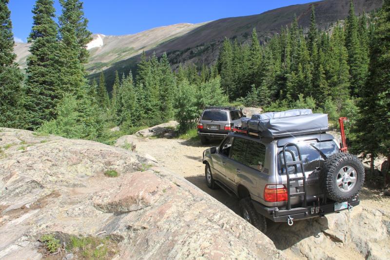
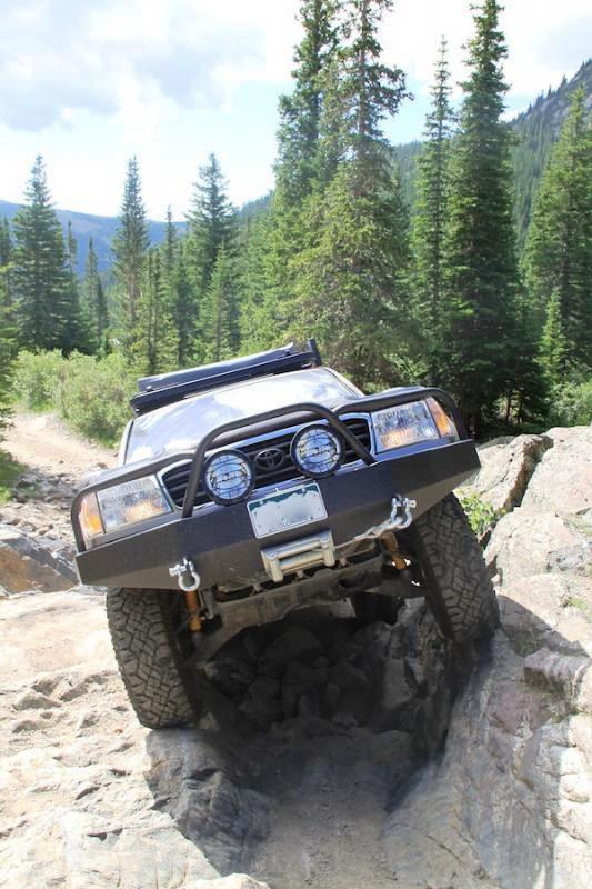
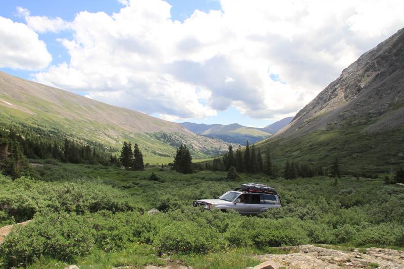
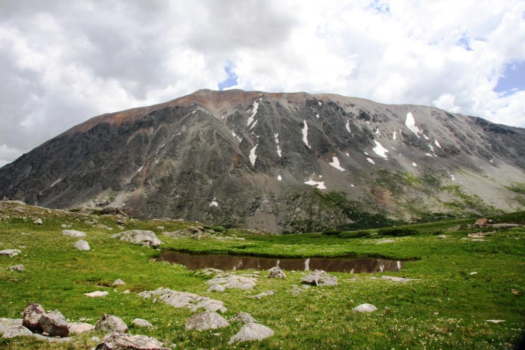
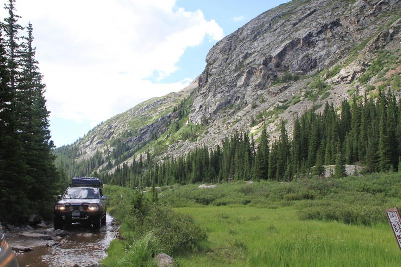
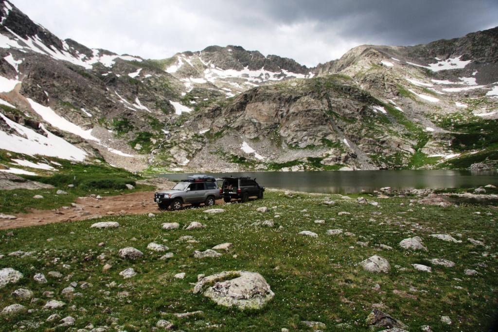
We awoke early to pack up camp and then headed out to conquer one of the most challenging and “puckering” trails of the weekend.   The trail entrance to Black Back Pass was just a short drive from our campsite.  Once again the scenery did not disappoint…. The roadsides were covered with wildflowers, including the white and lavender Columbine which is Colorado’s state flower.  We also passed under cables still attached to the mountain sides.  The miners used the cables to transport themselves and supplies to the other side.  After reaching the summit at 12,840 feet, we stopped for photos with an amazing Rocky Mountain background. 

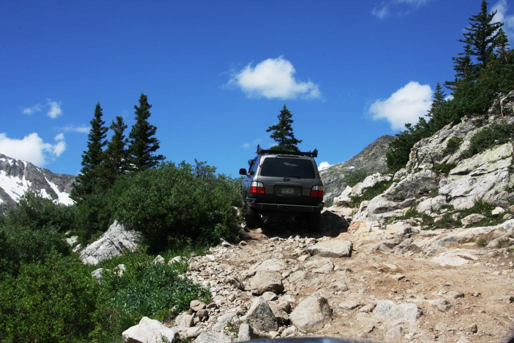
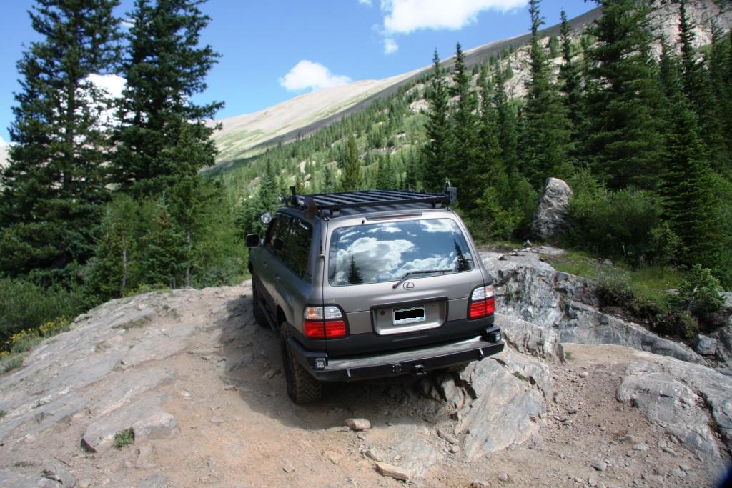
The descent was made up of a series of switchbacks which overlook the town of Telluride.  The switch back turns were slightly precarious and required a spotter at most turns (and a tight grip on the inside passenger door handle).  With loose rocks and no room for error, the switchbacks could definitely make one “pucker.”  View this link to see a great picture of the “infamous switchbacks:”  Black Bear Pass Switchbacks

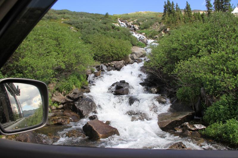
The end of the trail rewarded us with an AMAZING view of Bridal Veil Falls – one of the highest waterfall in Colorado.  It is a site to see with a working house/power plant sitting on top of the 365 feet falls.  With a short ride the rest of the way down the mountain to Telluride, the 1st Annual 100 Series Cruise the San Juan’s came to an end for us and we began the drive back home. 

We are already planning next year’s event,  which promises to have even more Cruisers.  So, if you haven’t yet, go buy a Land Cruiser and we will see you at the camp fire!!

This slideshow requires JavaScript.

Day 2 – Cruise the San Juans

Day 2 – The Alpine Loop: Poughkeepsi Gulch, Lake Como, California Pass, Animas Forks; and return to “The Super Secret Trail”

After a good night’s sleep in the roof top tent, we were ready to head out early to see what else the San Juan Mtns had to offer.  Our trusty trail leader, JH1, planned for all to explore the Alpine Loop.  The Loop is about a 65 mile trail through the mountains and provided some challenging trail obstacles.  We started the Loop at Poughkeepsi Gulch – this section of the trail climbed over loose rocks, through streams and led us to the main obstacle – “The Wall.”   Even though Landcruisers are not rock crawlers, they can hold their own.  We all made up “The Wall”, with only one having to be winched up, due to lack of a suspension lift and larger tires.  The scenery up to this point was nothing short of amazing….it is literally something you see “in the movies” and is known as the “Switzerland of America”.

Just a few miles up the rocky road, we stopped for lunch at Lake Como — A turquoise colored lake nestled in the midst of the mountains. Refueled, we headed through California Gulch and ended the Alpine Loop at the ghost town of Animas Forks.

Animas Forks, a small mining town, was first established around 1875 and remained active until the 1920s.  The town reached it’s largest population in 1883 with over 450 residents.  After years of decline, the town rebounded in 1904 with the construction of a giant mill – The Gold Prince Mill, which only stayed open for 6 years.  Today, several of the buildings are still very much intact and are open to the public. 

After visiting the ghost town, we headed into Silverton.  A couple of Landcruiser stragglers had arrived late the previous day, and missed “The Super Secret Trail”, so with some time on our hands, we decided to revisit the trail and share the view.  The second trip did not dissappoint.  With clear skies, we were able to see the green mountains in a totally different “light”. 

Back at camp, we had another night by the camp fire….we could definitely get used to this!

This slideshow requires JavaScript.

1st Annual 100 Series – Cruise the San Juans

We spent the weekend exploring the San Juan Mtns and Uncompahgre National Forest with 6 other Landcruiser owners (including one year old twin girls).  Most of the group was from Colorado, but there were a couple of long distance travelers – one from Arizona and another from Wyoming.  We all met at base camp in Ironton Park (near Ouray) on Friday afternoon and did not waste any time to start exploring a few of the nearby 4×4 trails.  Most of the offroad trails in Colorado were created around the 1800s during the mining boom.  And they are all packed full of stunning views and traces of Colorado’s mining history.

Day 1: Corkscrew Gulch and “The Super Secret Trail”

Corkscrew Gulch was our first expedition.  The beginning of the trail was like entering an alien planet. The trail head winds through the Red Mountains which are rich in minerals, especially iron.  The iron rich ground does not have any type of vegetation growing on it; creating a rocky, almost “Mars” like landscape.  After passing through the Red Mountains, an afternoon shower set in.  Since slippery, muddy roads can make for a dangerous trail ride, we cut short the remainder of the trail and headed to the nearby mining town of Silverton.

After waiting out the rain at the Silverton Brewery, we met up with a local Silverton Landcruiser owner, who offered to lead us on a nearby scenic mountain trail.  This “Super Secret Trail” (real name unknown) was one of the easiest trails we encountered, but offered some of the most fantastic views of the weekend.  The low hanging “after rain” clouds hung close to trail and provided some spectacular scenery.  We also met hundreds (literally) of local free range sheep that surrounded both sides of the trail.

We spent the rest of evening setting up our roof top tent, enjoying grilled blue cheese burgers and sitting around the campfire.

This slideshow requires JavaScript.

Invasion of the Elk!!

We decided to escape some of the heat and head to Rocky Mountain National Park on Saturday.  We have explored the park many times and it is always different and never gets old.  We entered through Estes Park and decided to take a different route up Old Fall River Road.  This is not the main road and we figured we would get away from some of the crowd.  It is an 11 mile dirt road to the top and it did not disappoint, with lots of wild flowers, animals and beautiful scenery.  We crossed the continental divide and headed down to the Timber Creek Campground on the Colorado River.  Luckily we found a spot, as this is peak camping season in the park.  We set up camp and relaxed and just hung around.  We have a new camp stove on order, so we decided not to cook a whole lot.  We did bring some freeze-dried camping beef stew, which was really good, but not so great a few hours later…  K enjoyed a few wine spritzers and I did NOT forget the beer.  After dinner, we were inundated with a herd of grazing elk.  We were in their territory, so they just strolled right through our camp like they owned the place.  The temperature dropped drastically to a chilly 40 degrees by morning.  We got up, had some coffee and eggs and hit the river for some fishing.  I was able to snag a few trout from the Colorado River, but nothing to brag about 🙂  We did come across two grazing moose, which really excited Furry B.  It is always great to get away to the mountains and we look forward to the next trip.

This slideshow requires JavaScript.

Wheeler Lake

Apologies to our loyal readers, we have not posted anything in a while as we have had some out-of-state company (which we thoroughly enjoyed!!).

I took a day trip with a friend to Wheeler Lake on Sunday.  It is a 4-wheel drive trail located between Breckenridge and Fairplay, almost in the center of the state.  After turning off the road near the Montgomery Reservoir and airing down our tires, we came to the Magnolia Mill.   Gold brought miners here and the mining camp/town of Montgomery was founded in 1861.  The Magnolia Mill is located just above the Montgomery reservoir where the original town of Montgomery (now an underwater ghost town) was located.  By 1862, a town of over 1,000 had sprung up, but by 1866 the miners had moved to other areas.  In 1957, the Montgomery Reservoir was completed and the remains of the town were forever lost underwater.  The Magnolia Mill is the sole survivor, aside from some mining equipment left behind that sparsely dots the landscape.

After leaving the mill, we headed up to Wheeler Lake.  This was one of the roughest roads to date, which allowed for some of the most pristine scenery I have seen.  Once we got to the lake at over 12,000 ft, we set up camp, grilled cheese burgers (with some mysterious Roman steak seasoning that I have to get) and did some hiking and fishing.  There was an awesome waterfall that seemed to flow out of the top of the mountain like a volcano that streamed into the lake.  Unfortunately, I did not catch anything, as a storm rolled in and we had to pack up and leave.  Driving on wet rocks = no fun!!  I did however manage to catch a Furry B.  He put up quite a fight…  When we first got to the lake, he was very excited to see the water, but I don’t think he realized how cold the water was.  I let him find out on his own and he swam longer than I thought, with just a few shivers when he got out.  It was a great day, aside from the clouds and little bit of rain that moved in.